
Creating & Testing a "Julia Wilbur in Civil War Alexandria" Walking Tour
/Alexandria offers lots of walking tours, thanks to lots of layers of history taking place in its compact layout (not to mention a scattering of ghosts for evening Ghost Tours). Abolitionist and relief agent Julia Wilbur concentrated her efforts from 1862 to 1865 within a few-mile area, working on behalf of the thousands of African Americans who escaped slavery by coming into the Union-occupied town.
Hence--I decided to create a Julia Wilbur Walking Tour. It involved a bit of a learning curve to transform a vague idea into a route, and then into a feet-on-the-ground walk with commentary. Here's what I did:
1. Brainstormed possible tour stops by going through her diaries of the period--residences, offices, hospitals, cemeteries, the wharf, and streets she would have walked along.
2. Used Google maps as an initial filter. I decided it should start at the King Street Metro and should run no longer than 2 miles. Even with a focus on Old Town, that meant making decisions. For example, looking at the outer limits of potential stops, the distance between the Metro, the Alexandria Black History Museum on Wythe Street, the Potomac River, the Contrabands and Freedmen Cemetery Memorial on South Washington Street & back to the Metro is 4.2 miles, too long. So I focused on a smaller area, with 12 stops in about 1.5 miles, mostly around Duke and Prince Streets.
3. Created a tour with Story Map, an application of the mapping software ArcGIS. (ESRI, the maker of ArcGIS, offers a free, public use with limited features.) The learning curve was a little steep, but I managed to locate my points on a map, with photos and commentary. It looks like this:

Live version of the tour is here: http://bit.ly/wilburtour
You can virtually "take" the tour with this link.
By the way, have a look at other Story Maps or create your own after you create an ArcGIS account--free for individual, non-commercial use.
4. Tested the distances with my husband. Caveat to Story Maps: I cannot access the online version of my walking tour while taking it, since Alexandria does not have WiFi--so I had to print it out to use it. My test revealed a few incorrect locations. I also re-navigated to spend more of the tour on the quieter streets, less on the noisier ones.
5. Revised the route and added more commentary and photos. I put my tour photos in a looseleaf notebook that I can pass around while walking.

Explaining the story of Mary and Emily Edmunson. Photo courtesy of Joanne Lozar Glenn.
6. Tested the tour content. Thanks to friends and fellow writers Joanne Lozar Glenn, Urmilla Khanna, Lisa Lipkind Leibnow, and Mary Lucas! As with any presentation, nothing like saying it out loud in real time to figure out what works. The tour took about 90 minutes, although I realize that I need to add a bit more between-spot patter and photographs to conjure up sites that are no longer standing.
Among the stops:
- Two places where slave-trading took place before the Civil War,
- Two places where Julia Wilbur lived,
- Two places where freedmen lived,
- Two offices of the top Union brass,
- The U.S. Military Railroad headquarters.
We also witnessed a dog fight (literally) in front of what was once Alexandria's Quaker Meeting (now the Little Theatre of Alexandria), proving that you never know what will happen during a live event.
7. Celebrated. Always good to debrief and plan the next adventure!
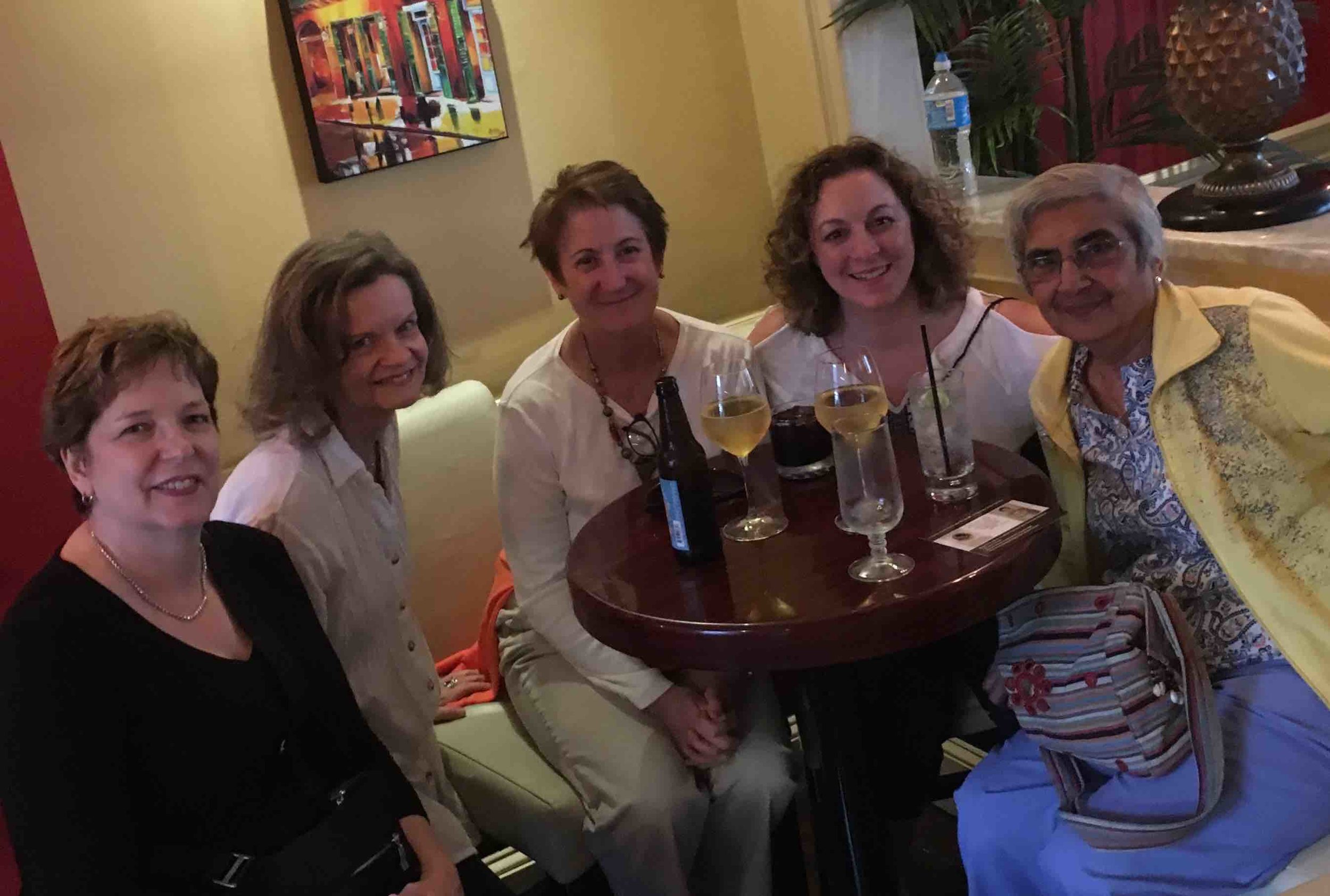
At Magnolia on King's happy hour.
My next step is to see if I can make Story Maps more useful for my purposes, post on my website, and maybe even organize a few more tours. Let me know if you would like to join me!